
Engineered for precision. Built for trust.
GeoVista Geospatial Consult Ltd is a Nigerian geospatial consultancy delivering surveying, mapping, GIS and engineering measurement services to public and private sector clients.
Geospatial intelligence for Africa's growth.
GeoVista Geospatial Consult Ltd was established to bring world-class geospatial standards to infrastructure, energy, real estate and government projects across Nigeria and West Africa. Our integrated capability spans engineering survey, topographic and cadastral survey, hydrographic and bathymetric survey, drone and UAV mapping, GIS development, and remote sensing.
We combine experienced surveyors, professional engineers and GIS analysts with current technology — GNSS receivers, total stations, multibeam echo sounders, RPAS platforms and modern processing software — to deliver accurate, auditable, on-time results. Every engagement is governed by a strict QA/QC workflow and a strong HSE culture.

Management Team

Leads the strategic direction of GeoVista Geospatial Consult Ltd, driving precision, innovation and excellence across all engagements.
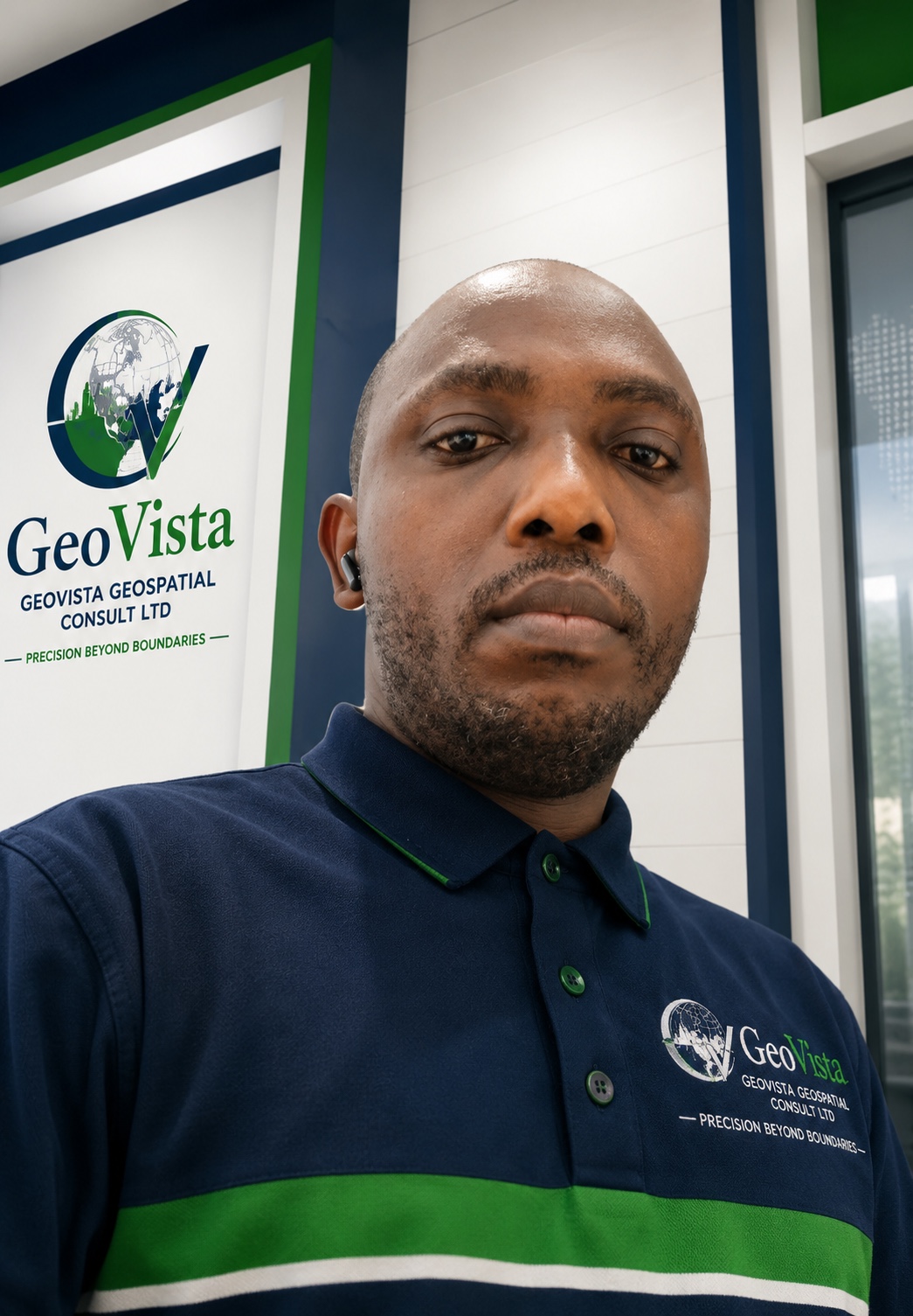
Develops client relationships and strategic partnerships across the public and private sector to grow GeoVista's market reach.

Oversees field operations, project delivery, QA/QC and HSE compliance across every GeoVista deployment.

Leads the technical practice — surveying, GIS, hydrography and drone mapping — ensuring international standards on every project.

Heads finance, administration and corporate governance, ensuring GeoVista's day-to-day operations run efficiently and transparently.
Clients & Strategic Partners
We work with government agencies, oil & gas majors, construction giants, and technology partners across Nigeria and the region.